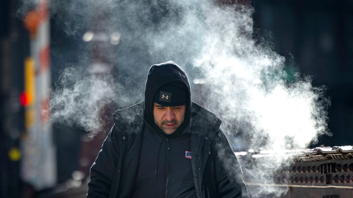
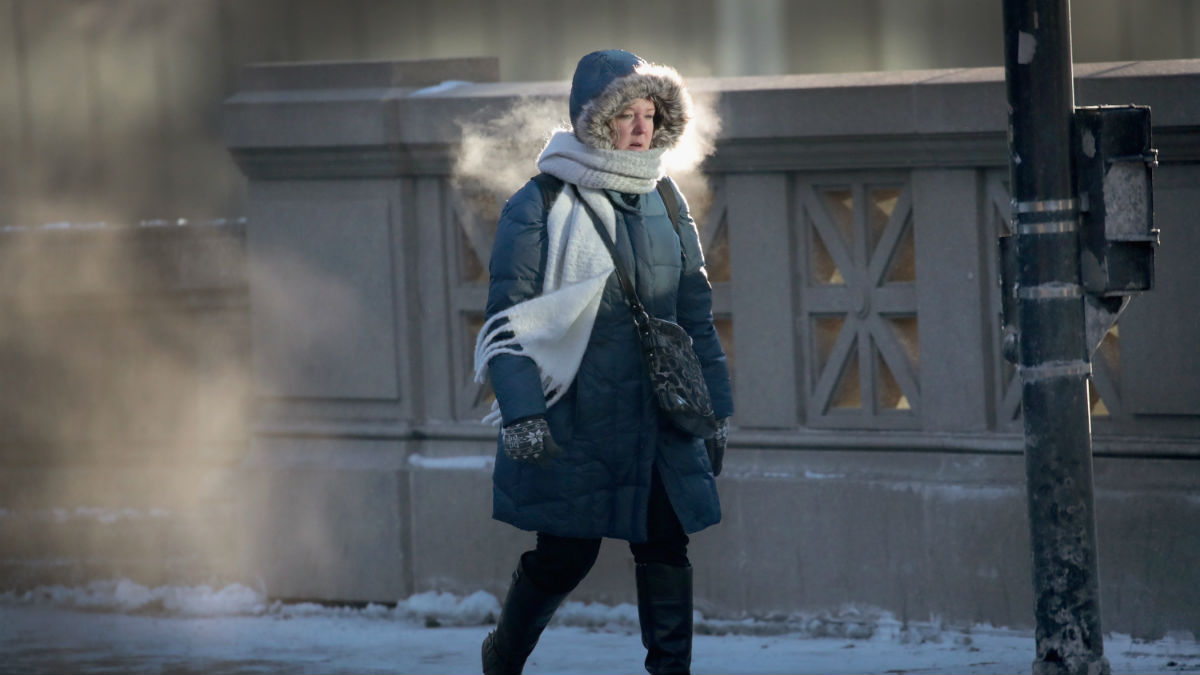
A weekend winter storm with the potential to dump a foot or snow or more is on its way to Midwest, with the entire Chicago area along with northern Indiana and southeastern Wisconsin set to be impacted as experts warn of “major” travel impacts and advise drivers to consider shifting their plans.
“While we are prepared and ready to devote all of our resources to the latest winter weather event, this weekend’s storm will hit when millions of people are returning home from the holiday,” Illinois Transportation Secretary Gia Biagi said in a release. “Please make a plan to keep you and your loved ones safe, including adjusting travel so you are not on the roads when conditions are at their worst.”
According to the National Weather Service, a winter storm warning will take effect starting at 3 a.m. But when exactly is the snow expected to be begin, and what time will driving be the most hazardous?
Here’s the latest timeline.
When will the snow start?
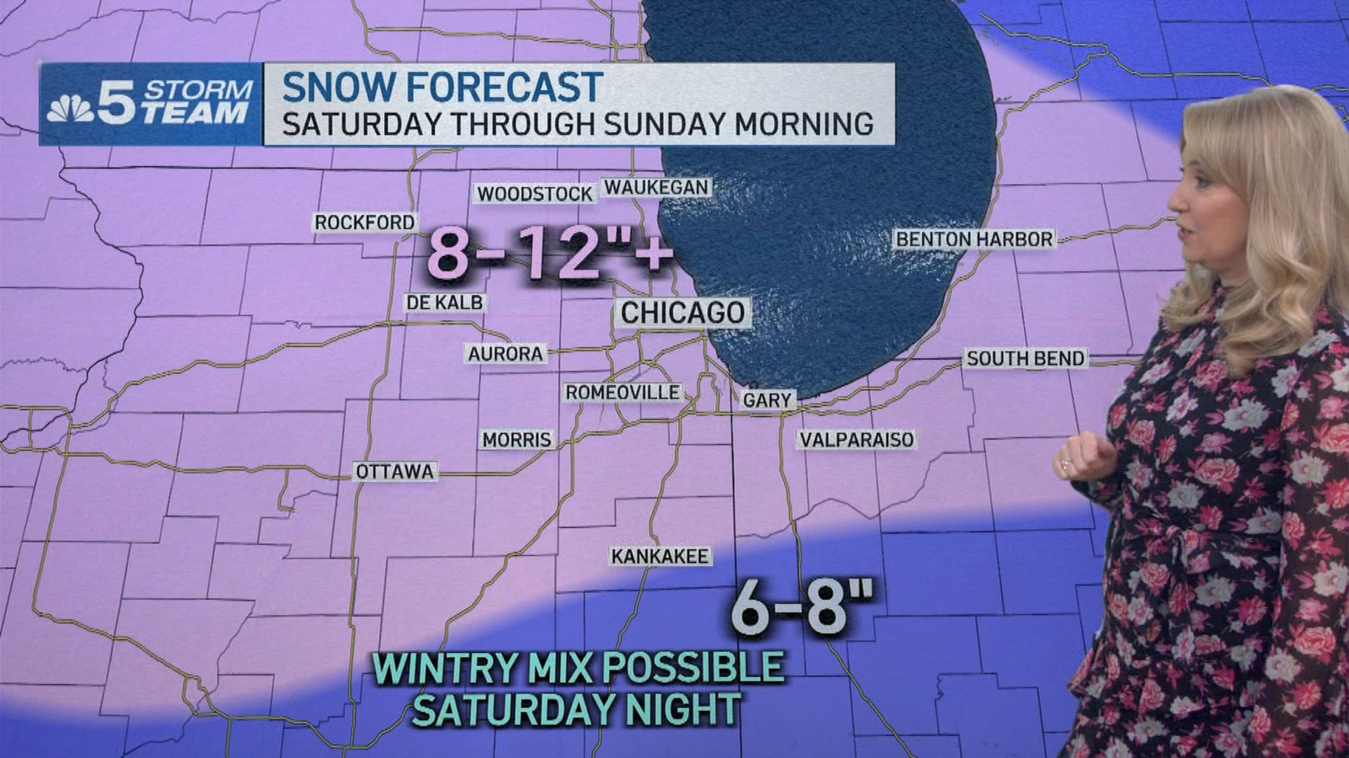
The snow is expected to move into the Chicago area late Friday night and after midnight, starting in the far western counties. By 6 a.m. Saturday, widespread snow will “already be going,” NBC 5 Storm Team Meteorologist Kircchaine said, and covering the entire Chicago area.
After that, it’s expected to snow “all day long,” Kirchhaine said, picking up intensity in the afternoon and evening.
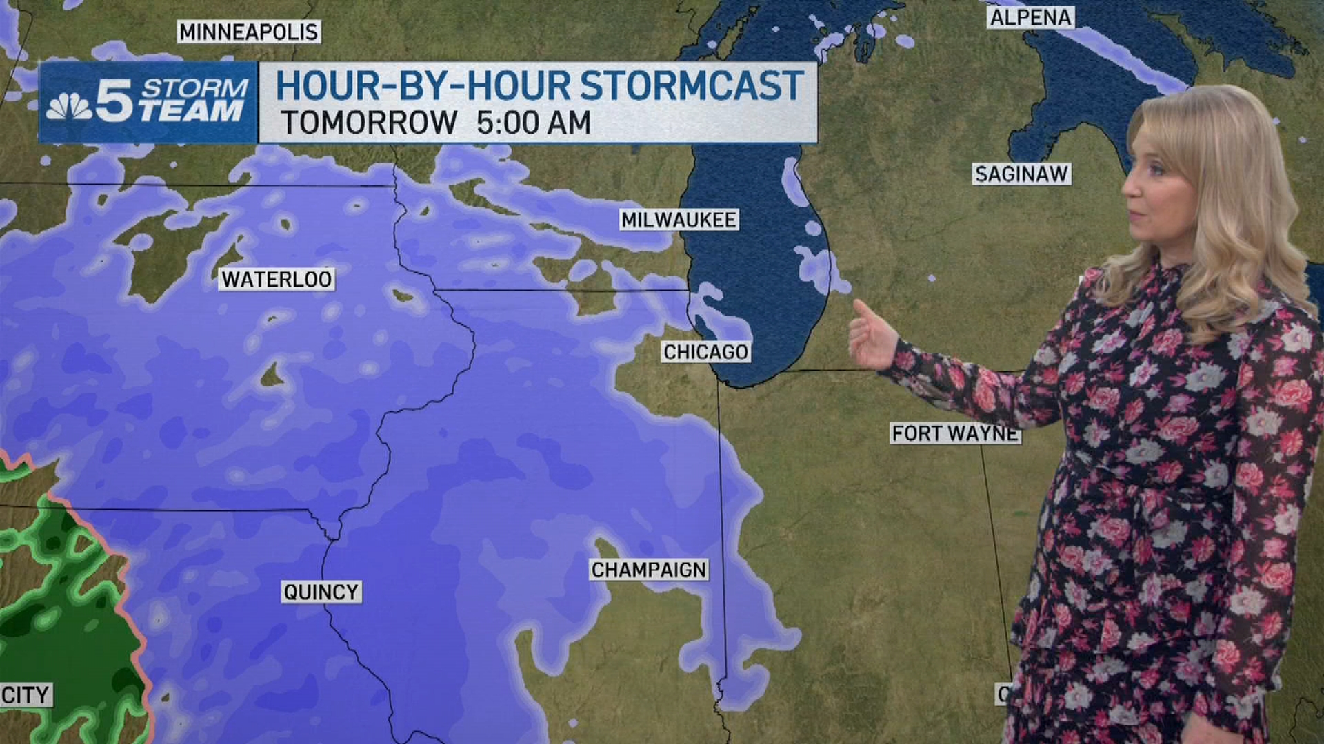
“Highest rates around one inch per hour,” the NWS warned. “Greatest travel impacts expected Saturday afternoon.”
In a post on X, the NWS in Northern Indiana warned travelers to consider postponing or avoiding holiday travel over the weekend due to the storm.
Here's the latest forecast information regarding the upcoming winter storm. Widespread snowfall of 6-12"+ will result in treacherous post-Thanksgiving travel conditions. Travel may be significantly impacted along the I-69, I-80/I-90, I-94, and US 30 corridors this weekend. pic.twitter.com/cCCeN9gtXj
— NWS Northern Indiana (@NWSIWX) November 28, 2025
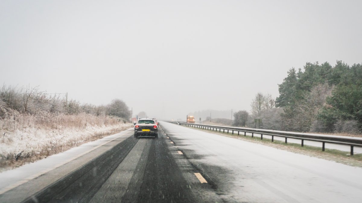
The Illinois Department of Transportation also warned drivers about the storm, saying travelers should plan accordingly for conditions to deteriorate starting Friday night, with “heavy snow, reduced visibility and slick, slippery conditions with much longer travel times.”
“The forecasted winter weather could lead to hazardous driving conditions,” ISP Division of Patrol Col. Chris Owen said in the release. “Think about whether driving is really necessary. Depending on the amount of snow and road conditions, if your vehicle becomes disabled, troopers can help you get to a safe place, but your vehicle will have to wait. Is it worth it?”
The NWS warned that travelers should consider delaying travel unless it’s “absolutely necessary,” with driving expected to be very difficult to impossible. Roads and bridges were likely be slick and dangerous, and strong winds along with the weight of snow on tree limbs could cause sporadic power outages.
“Drive with extreme caution,” the NWS said. “Consider taking a winter storm kit along with you,” including tire chains, blankets, flashlights, shovels and more.
“Also take water, a first aid kit, and anything else that would help you survive in case you become stranded,” the NWS said.
By nighttime, the snow will be lighter, Kircchaine said, tapering off by Sunday morning. When all is said and done, the Chicago area is looking at “big time snow totals.”
How much snow is expected in Chicago?
Most of the Chicago area was expected to get between eight and 12 inches of snow, with locally higher totals in the north and west suburbs. In far northwestern Illinois, up to 15 inches of “heavy, wet snow” was expected in Quad Cities and Rockford, IDOT said.
Further south and southeast, where a wintry mix was possible totals were likely stay between six and eight inches, Kircchaine said.