4 things to know about the weather:
- Unsettled weather pattern returns
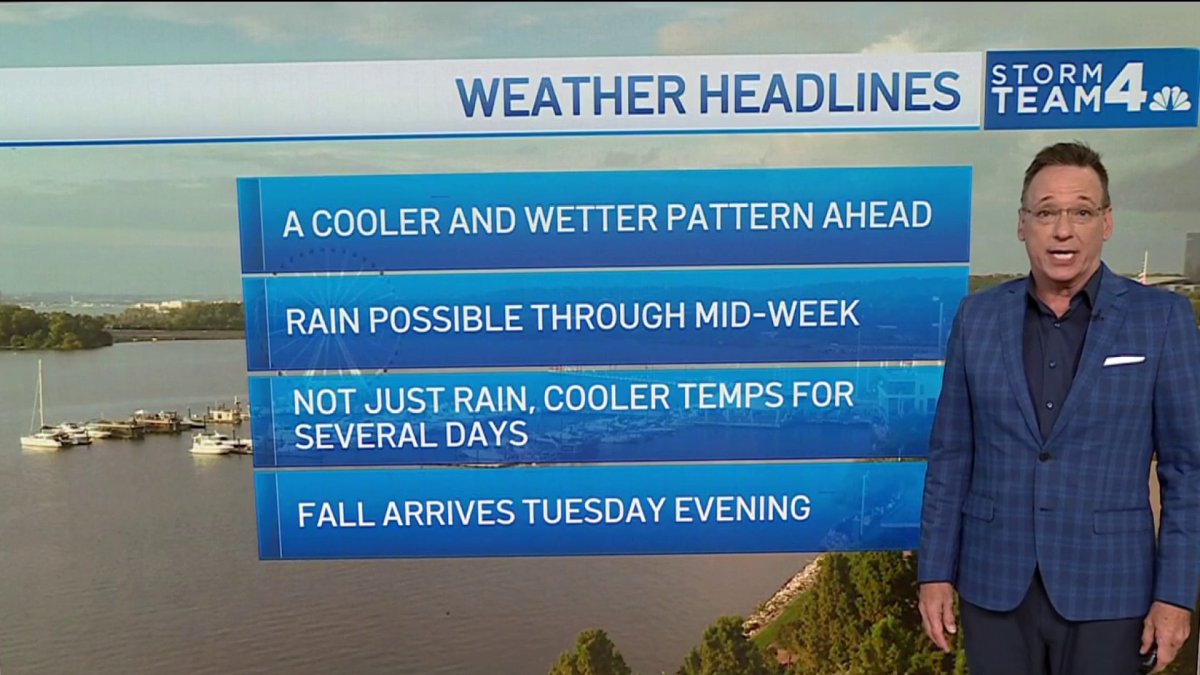
- Cooler than normal temperatures — Fall arrives Tuesday
- Clouds dominate the forecast
- Keep that umbrella handy
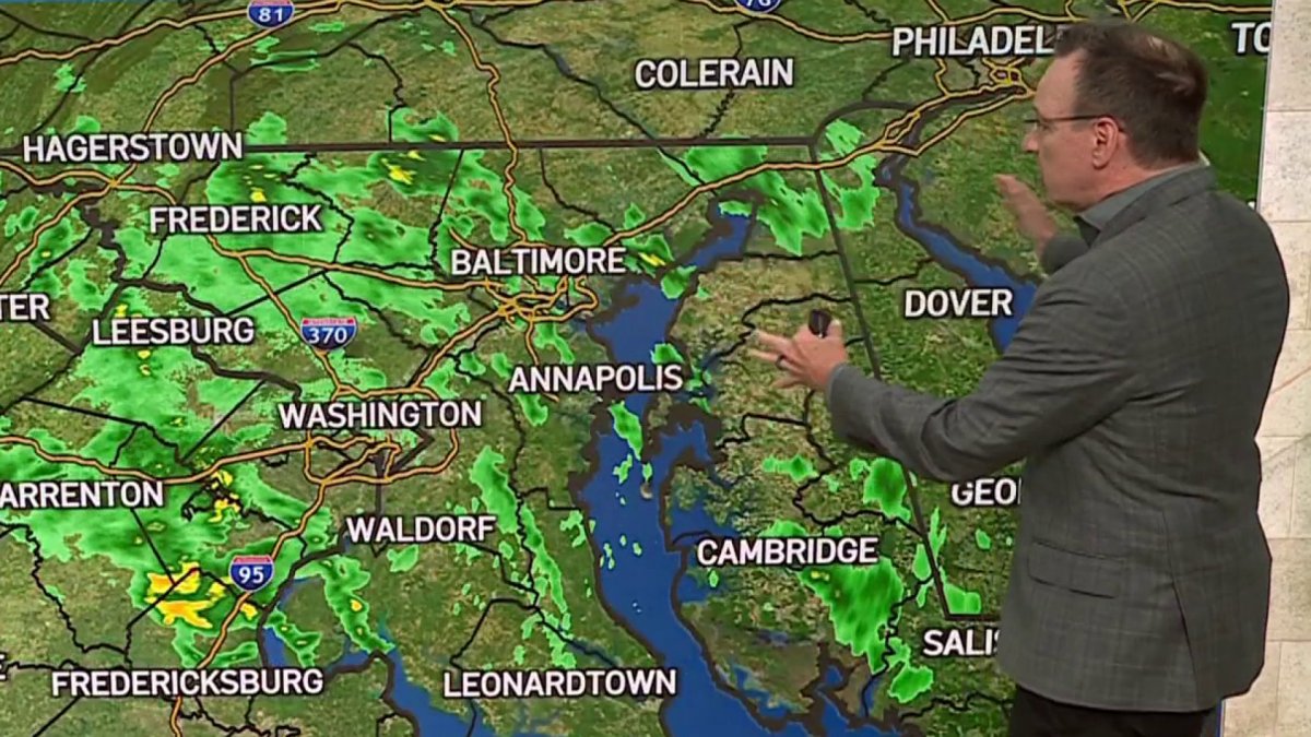
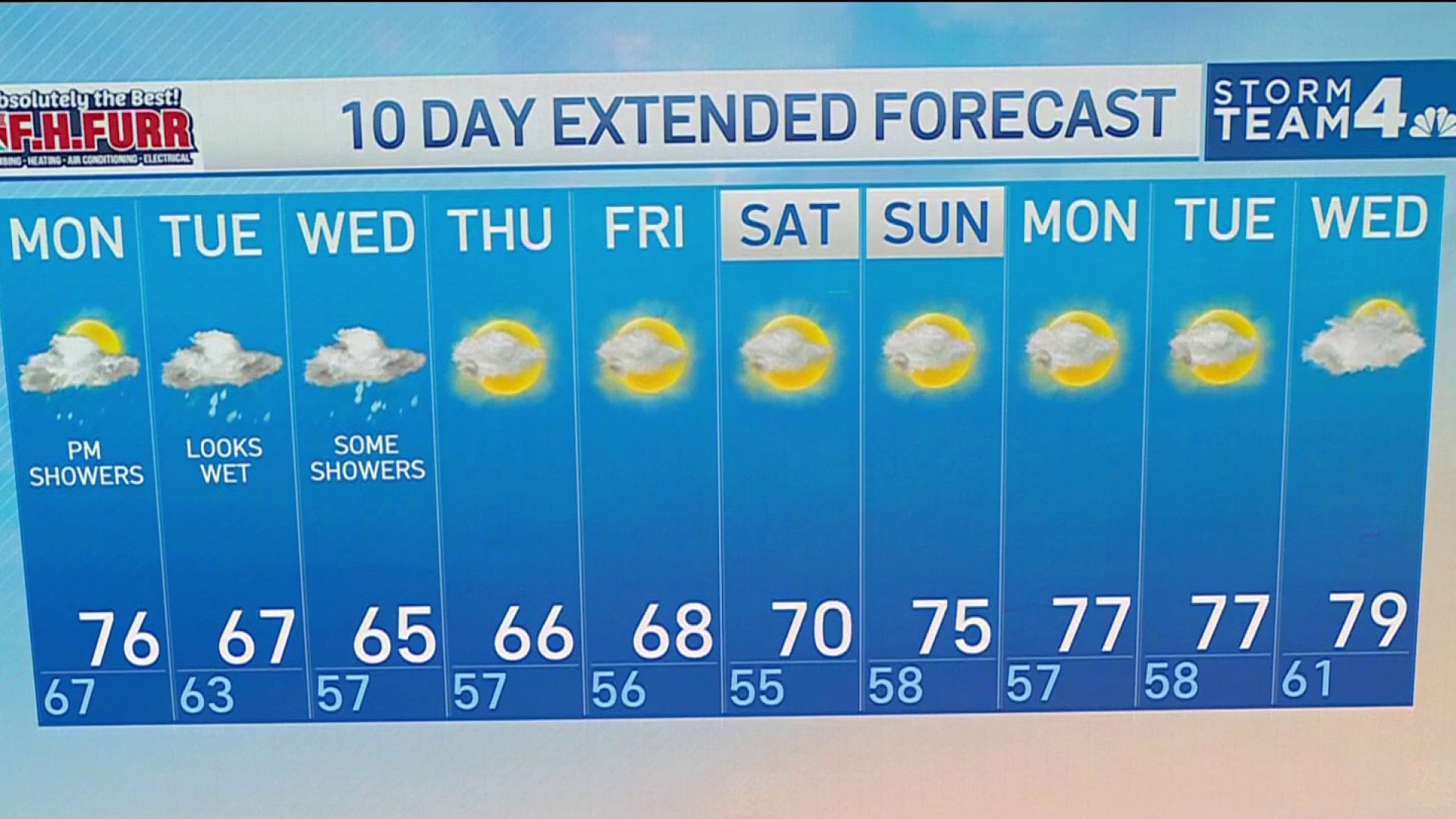
A coastal weather system brings periods of rain from Monday through Thursday across the D.C. area. Afternoon temperatures will run below late-September averages with highs mainly in the 60s and 70s.
Sunshine will be limited through midweek as cloudy skies persist. Several rounds of showers are possible, especially Monday afternoon through Tuesday and Wednesday.
Download the NBC Washington app on iOS and Android to check the weather radar on the go.
QuickCast
MONDAY
Mostly cloudy with scattered showers
Considerable cloudiness
Spotty showers possible during the afternoon
Cooler than recent days
Damp conditions develop late
Wind: NE 5 to 10 mph
High Temperature: 74°-77°
MONDAY NIGHT
Rain becomes more widespread
Occasional moderate rainfall
Breezy at times
Wet commute possible Tuesday morning
Wind: NE 5 to 15 mph
Low Temperature: 61°-64°
TUESDAY
Cool and rainy
Periods of rain likely
Cloudy skies throughout the day
Breezy conditions
Raw September feel
Wind: NE 10 to 15 mph, gusts to 25 mph
High Temperature: 65°-69°
TUESDAY NIGHT
Showers decrease
Staying cloudy and cool
Breezy early
A damp chill lingers
Wind: NE 10 to 15 mph
Low Temperature: 56°-59°
WEDNESDAY
Mostly cloudy and cool
Considerable cloud cover
Chance of some scattered showers
Cool afternoon temperatures
Improving conditions late
Wind: N to NE 5 to 15 mph
High Temperature: 64°-68°
WEDNESDAY NIGHT
Mostly cloudy skies
Cooler overnight
A stray shower possible early
Improving travel weather
Wind: N 5 to 10 mph
Low Temperature: 54°-58°