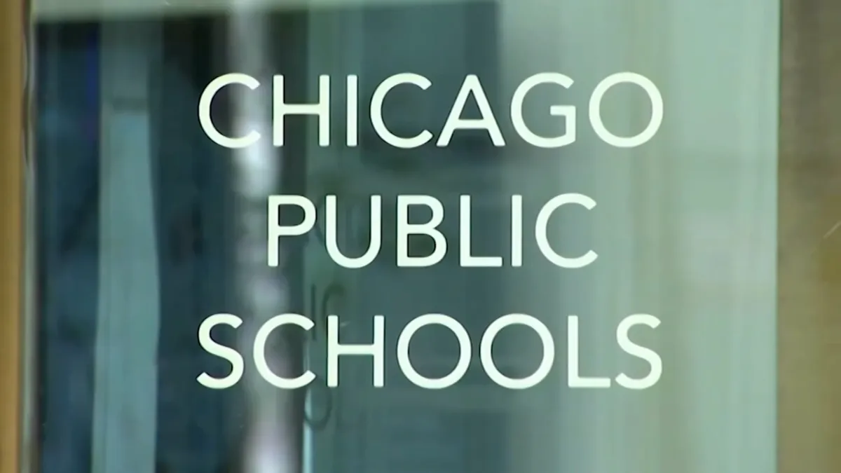
Chicago Public Schools, the largest school district in the state, announced Thursday afternoon it would be shut down Friday “due to severe weather,” with no classes or e-learning scheduled and buildings closed to the public.
About 11:30 a.m., district officials said it make the decision to cancel classes Friday “after closely monitoring the forecast for the past 24 hours in collaboration with the City of Chicago’s Office of Emergency Management and Communications (OEMC) and other City agencies.”
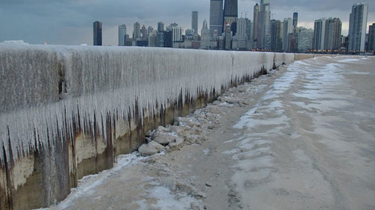
“With dangerously frigid temperatures expected tomorrow and a Warning from the National Weather Service that wind chills could reach -35 degrees, it will be unsafe for students and staff to travel to school,” officials said. “Dangerously cold wind chills can cause frostbite on exposed skin in as little as 10 minutes.”
MAP: See which parts of the Chicago area will see the coldest, most extreme wind chills
The school also said all extracurricular activities, including athletic practices, game and removes scheduled for Friday would also be canceled.
“CPS expects that classes will resume for all students on Monday, January 26 and any missed athletic competitions will be rescheduled,” the message said.
The announcement came as dozens of other schools in Illinois on Thursday also announced they would be closed due to the dangerous wind chills as low as -40 degrees. As of Thursday afternoon, more than than 100 schools across the city and suburbs had already announced they would be closed Friday, with some but not all moving to e-learning instead, according to the Emergency Closing Center.
According to the NWS, the extreme cold warning will go into effect at 3 a.m. Friday for all of northeastern Illinois.
How to check Illinois school closings
Many school districts also post about closings on social media and on their website homepage, and communicate with their school community via phone, email and text message notifications.
Families can check for the latest on their school using the link below:
You can find a full list of school closings across Illinois here. (NOTE: If you are accessing this link from our app, please go to your mobile browser).
Extreme cold timeline
The sharp drop in temperatures and wind chills will come overnight, NBC 5 Storm Team Meteorologist Alicia Roman said, starting at about midnight. At 3 a.m., the extreme cold warning for all of northeastern Illinois and part of southeastern Wisconsin will go into effect.
“This time tomorrow morning, we’re down to -10,” Roman said at 5 a.m. Thursday. Even colder air temperature readings were expected in counties to the north and west, between 6 a.m. to 11 a.m.
Wind chills will be even worse. Earlier in the week, forecasters said “feels-like” temperatures Friday morning could be as low as -30 or -35, but the predictions are even colder now.
“Perhaps down to -40,” Roman said, with the NWS saying the coldest wind chills will be expected across interior portions of northern Illinois.
Friday morning in Woodstock, the predicted “feels-like” temperature was -40 degrees. The temperature was expected to feel like -39 in DeKalb, -37 in DuPage, and -38 in Waukegan.
To the south and east, wind chills would be slightly better, in the -20s.
Through 11 a.m. Friday, the cold will be the most “critical” Roman said, as the temperatures and wind chills could lead to frostbite in as little as 10 or 15 minutes.
“Cover everything. All exposed skin,” Roman warned. “Because it will be very, very dangerous to be out there.”
Friday afternoon, things weren’t expected to get any better Roman said.
“-2 degrees is the high,” Roman advised.
This story uses functionality that may not work in our app. Click here to open the story in your web browser.