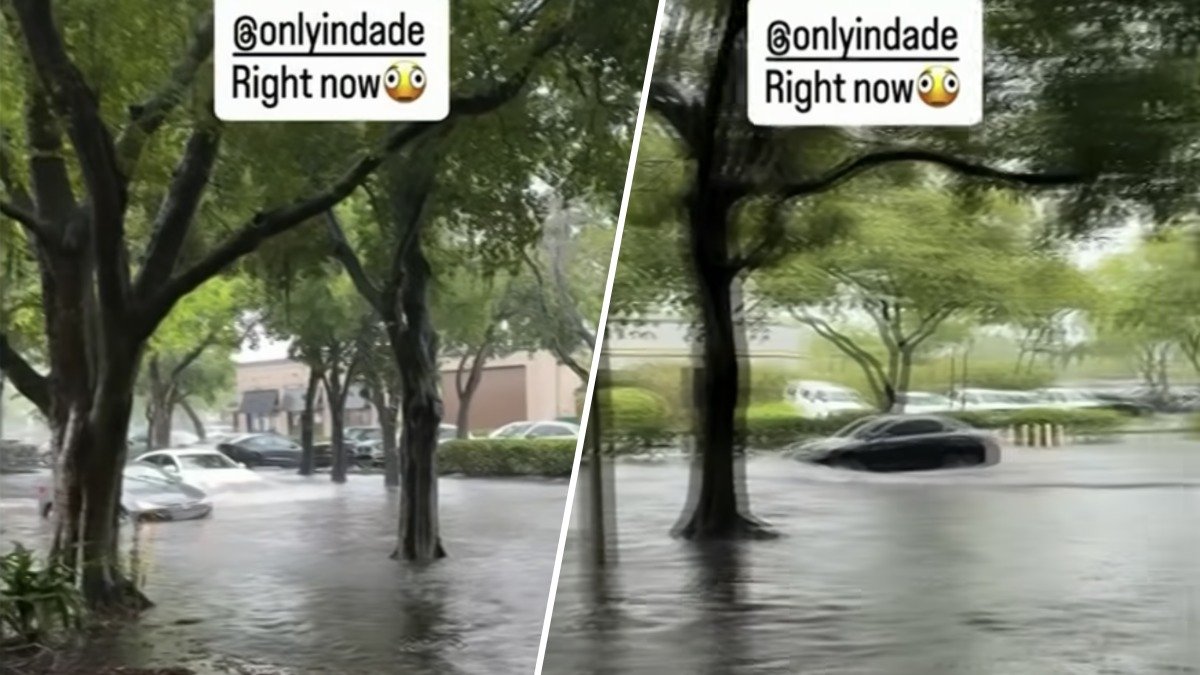
Very high moisture levels and light winds will once again lead to slow-moving showers and t-storms in South Florida on Friday.
A flood advisory was issued for Broward County until 5:30 p.m. Friday as flooding caused by excessive rainfall was expected, the National Weather Service said.
9/18 @ 1:30PM: Slow moving thunderstorms continue to drop heavy rainfall across southern Palm Beach & metro Broward counties.
— NWS Miami (@NWSMiami) September 18, 2026
Minor flooding remains possible across these areas as this activity gradually shifts westward over the next several hours. pic.twitter.com/0dyFlG0oR1
As of around 1 p.m., between 1 and 3 inches of rain had fallen and additional rainfall amounts of 1 to 2 inches were expected over the area, according to the NWS.
Minor flooding in low-lying and poor drainage areas along with water over roadways was possible.
Meanwhile, ground stops were issued at Miami International and Fort Lauderdale-Hollywood International airports due to the storms.
This type of pattern looks to continue right into the weekend and next week. As annoying as this rain is, we are making great progress on the drought.
Live Radar
Future Forecast
FRIDAY: Partly sunny. A few am showers/storms followed by afternoon storms. Rain: 80%. High: 88°.
SATURDAY: Partly sunny. A few am showers/storms followed by afternoon storms. Rain: 80%. High: 88°.
SUNDAY: Partly sunny. A few am showers/storms followed by afternoon storms. Rain: 80%. High: 88°.