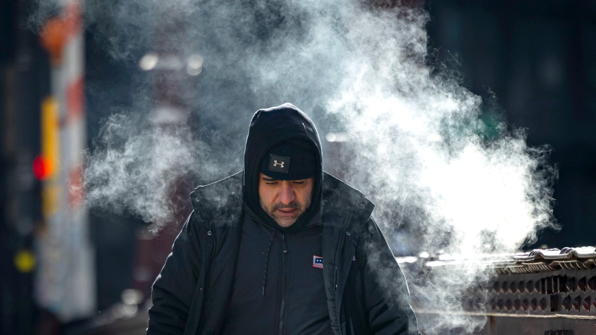
Chicago on Friday was on track to see its coldest day in years, with an extreme cold warning to last through 12 p.m. followed by a cold advisory across all of northeastern Illinois and a high of only 0 degrees.
“It’s one of the coldest mornings since 2019,” NBC 5 Storm Team Alicia Roman said, with temperatures at just before 8 a.m. clocking in at -11.
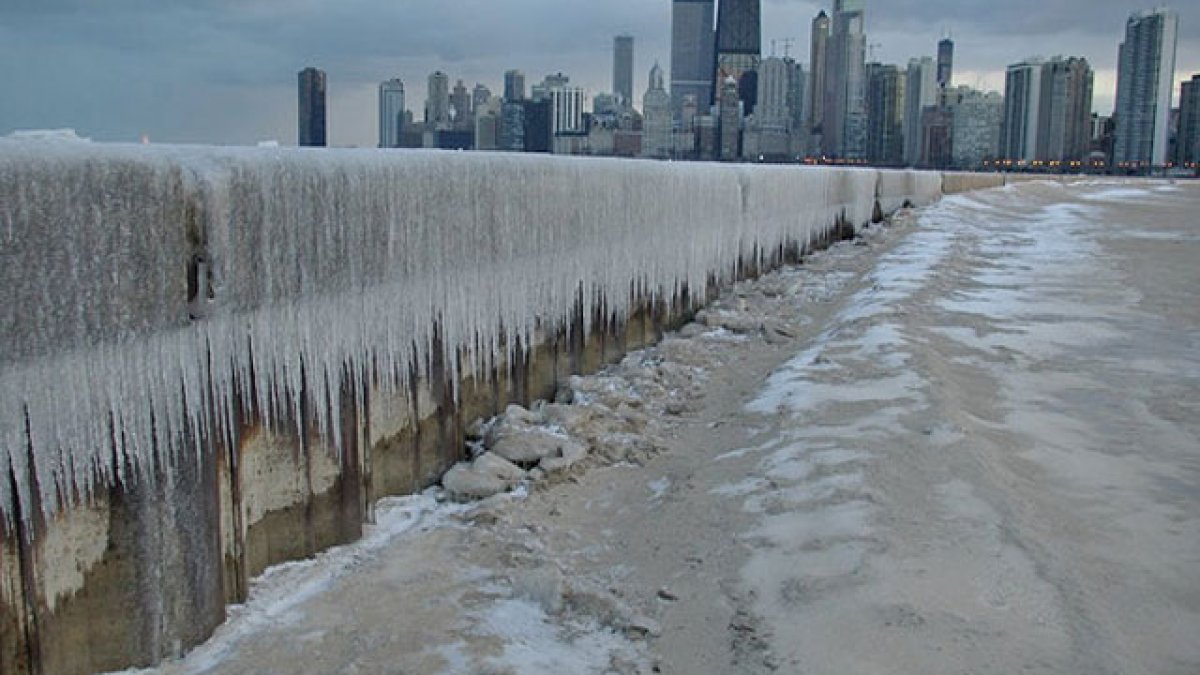
In January of 2019, a polar vortex brought temperatures as low as -23 degrees.
At that time, wind chills, also known as “feels-like” temperatures were down to -32 degrees in Chicago. The National Weather Service said the conditions were the “coldest yet this season,” with many parts to the north and west waking up to wind chills between between -35 and -40 degrees.
So how long will the cold last, and when exactly does winter end?
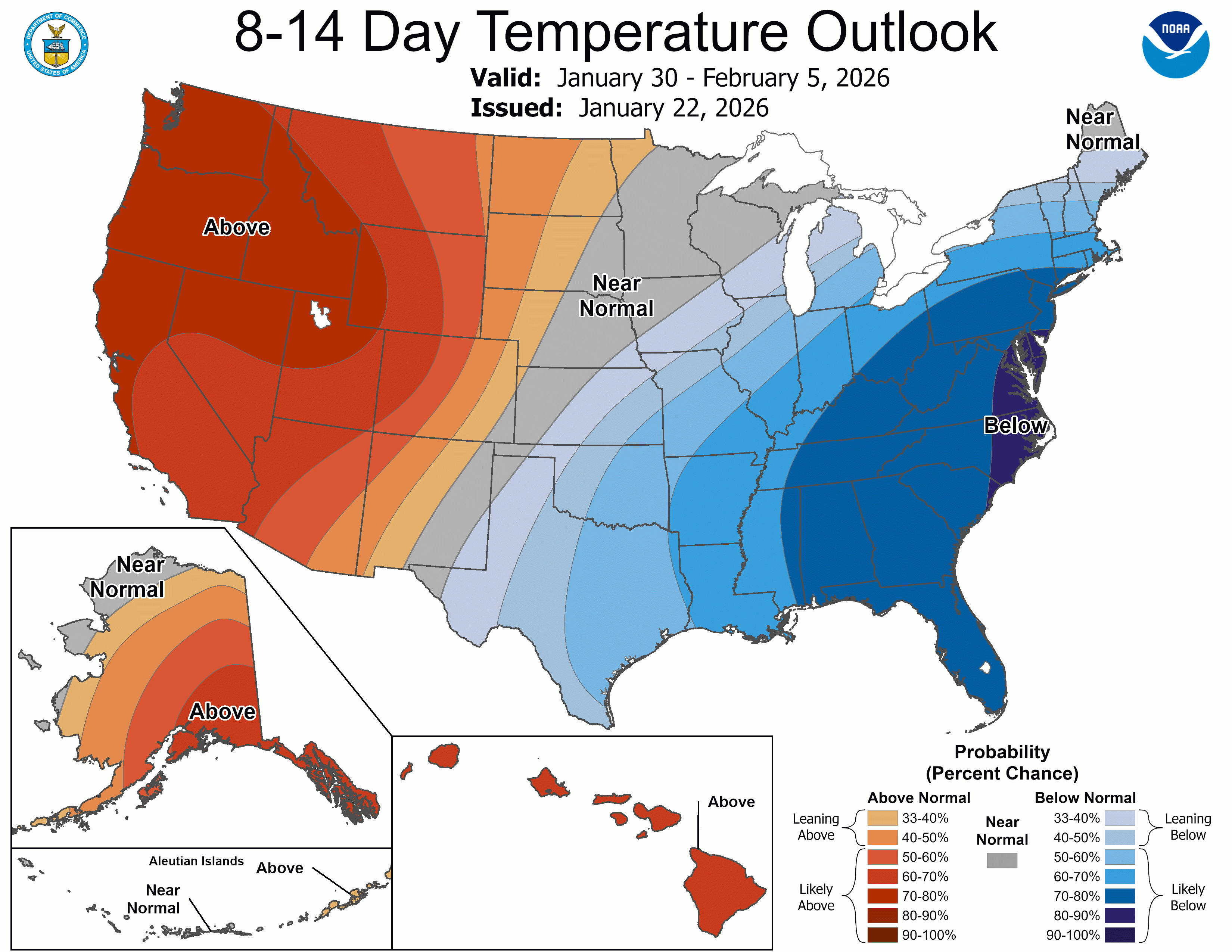
According to Roman, the average high this time of year is about 31 or 32 degrees.
“We’re well below that,” Roman said, with the 10-day forecast for the Chicago area showing high temperatures only in the teens.
Roman noted the temperatures were likely to remain below average from Jan. 30 through Feb. 5.
“All the way through that first week in February” Roman said.
That time period, of course, includes Feb,. 2, Groundhog Day.
“According to legend, if a groundhog sees its shadow on this day, there will be six more weeks of wintry weather,” a post from the Old Farmer’s Almanac said. “If it doesn’t, then spring is right around corner.”
In the Chicago area, Groundhog Day responsibilities fall on the shoulders of Woodstock Willie, who in 2025 predicted an early spring.
Meteorological spring, which more closely follows the Gregorian calendar, starts March 1. But astronomical spring is marked by the spring equinox, which for 2026 arrives at about 9:46 a.m. on Friday, March 20.
Chicago weekend forecast
While the extreme cold warning comes to an end at 12 p.m., a cold weather advisory will go into effect directly after and last until 9 a.m. Saturday.
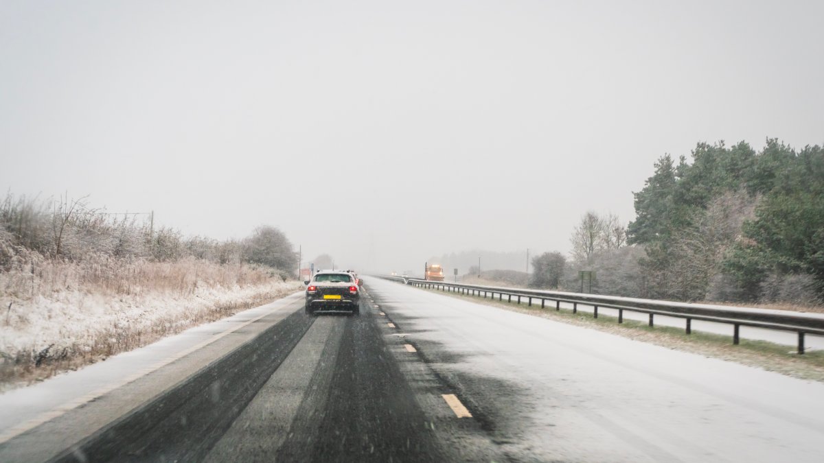
Saturday’s high temperature, Roman said, was 10 degrees. Morning wind chills Saturday would still be bitter, with wind chills as low as -30. Parts of the Chicago area could also see snow chances Saturday and Sunday as part of a winter storm set to hit multiple states, with heavy snow and crippling ice.
“The set up is there for major travel disruptions, record snowfall and significant ice accumulations to knock out power… I don’t say this lightly,” NBC 5 Storm Team Meteorologist Kevin Jeanes said.
Snow from the storm was expected to hit southern and central Illinois Saturday night. The Chicago area will be on the “far northern edge” of the system, with snow possible Sunday.
“Higher snowfall totals possible in our southern counties,” Roman said, where between two and five inches of snow could fall.
This story uses functionality that may not work in our app. Click here to open the story in your web browser.